ARMENIA
DISTANCE
81,8 KM
DIFFICULTY (1-10)
6
DAYS
8
TOTAL ASCENT
3.533 Mt
HIGH POINT
2,532 Mt
TREKKER
Pietro Ienca
Armenia, a country still to be thoroughly known, rich in history and culture as well as in breathtaking landscapes.
Through one of the most beautiful Armenian National Parks, the Dilijan and the uncontaminated Vayots Dzor province.
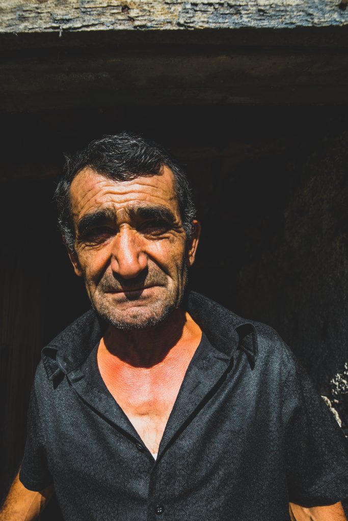
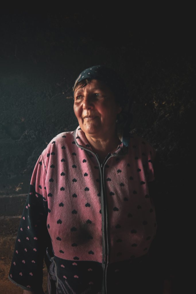
We were invited by the Hike Armenia organization, to spend 10 days visiting and discovering this still little-known land, taking a closer look to the local communities and to their traditions. Armenia is country that gave a lot to us, in terms of knowledge as well as of emotions. Since is still not a very touristic country, we had the possibility to observe and live what “slow tourism” really means: our tour was based on a well organised network, created between small and local realities.
A land still not very touristic, but that focuses on slow tourism, creating a tourist network with small local realities.
Armenia is in the heart of the Little Caucasus mountain range, presenting peaks reaching up to 4,000 meters, that alternates with valleys and plateaus.
HIKE Armenia is a group of passionate hikers from all over the world, who want to show to everybody what Armenia has to offer: “We believe Armenia can be a premier hiking destination. That’s why we’re developing hiking infrastructure here and sharing the awesomeness that is Armenia with the world. For this expedition we’ve combined trail leaders and influencers to showcase some of the best trails Armenia has to offer in two very different regions of the country. Days 1-5 will take place in the northern region of Tavush, while Days 6-10 will be in the southern region of Vayots Dzor. Of the ten-day expedition, a total of 4 nights we’ll be wild camping, using hotels and guest houses for the remainder of our nights along the trail. In addition to its breath-taking nature, another big part of Armenia’s beauty is its people, who proudly preserve its history, culture and traditions. We’ve weaved a bit of this preservation into the itinerary, ensuring what will surely be memorable moments for us all.”
KHACHARDZAN to PARZ LAKE
Time: 5h Distance: 12,4 km ↑ 1,612 m ↓ 1,018 m
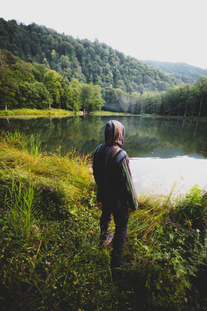
Another trail that’s part of the Transcaucasian Trail (TCT) route through Dilijan National Park, you’ll follow the Aghstev River to Gosh Lake, a beautiful little lake surrounded on all sides by thick forest.
You’ll start at the village of Khachardzan and follow the river to Gosh Lake. The thick forests this trail will take you through are what the Dilijan area are famous for—you won’t be disappointed! Autumn is a particularly beautiful season in this area. Gosh Lake is a great place for a picnic or traditional Armenian barbecue. You can also go fishing here and camp overnight!
Time: 5,40 h Distance: 11,3 km ↑ 1,559 m ↓ 1,232 m
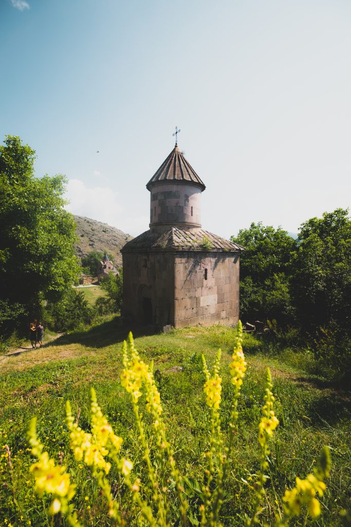
This short hike will take you from Gosh Lake, to the village of Gosh, and then to Goshavank Monastery. In case you’re wondering, “Gosh, who’s Gosh?” He’s the guy who basically put this area on the map. Mkhitar Gosh was an influential 12th century scholar, statesman, and priest who founded the Goshavank Monastery complex. If you haven’t figured it out yet, monasteries were very important centers of learning and culture in medieval Armenia. The lake and nearby village are also named after Gosh. While making your way on this trail (part of the Transcaucasian Trail route through Dilijan National Park), you’ll notice several medieval cross-stones, unique to Armenia, including one with a tree growing on top of it! You’ll also pass through an area where trees are covered in white handkerchiefs. This isn’t litter—tying a white cloth to a holy site is a common local practice thought to bring good fortune. It’s a pre-Christian tradition that survives today.
This easy hike will take you from Gosh village to the Lake Parz resort area, where you can chill, take on an outdoor ropes course, rent paddle boats, or partake in a traditional Armenian kef (party) with locals—vodka not optional.
Starting at the 12th century Goshavank Monastery, you’ll follow this trail (one of the Transcaucasian Trail’s routes through Dilijan National Park) through forests and hayfields. Keep an eye out for intricate cross-stones (called khachkar in Armenian), beautiful examples of Armenian cultural heritage as you make you way toward Lake Parz. Keep in mind that Lake Parz is one of Armenia’s most popular destinations for both visitors and locals. It’s very busy in the summer months, so if you’re looking for a quiet place to relax, this isn’t it.

PARZ LAKE VIA DILIJAN TO MARTIROS
Time: 4,30h Distance: 14,1 km ↑ 1,749 m ↓ 1,236 m
The town of Dilijan is one of Armenia’s most popular tourist destinations, and this trail, which is part of the Transcaucasian Trail (TCT) route, takes you through Dilijan National Park and ends in the center of the charming vacation spot.
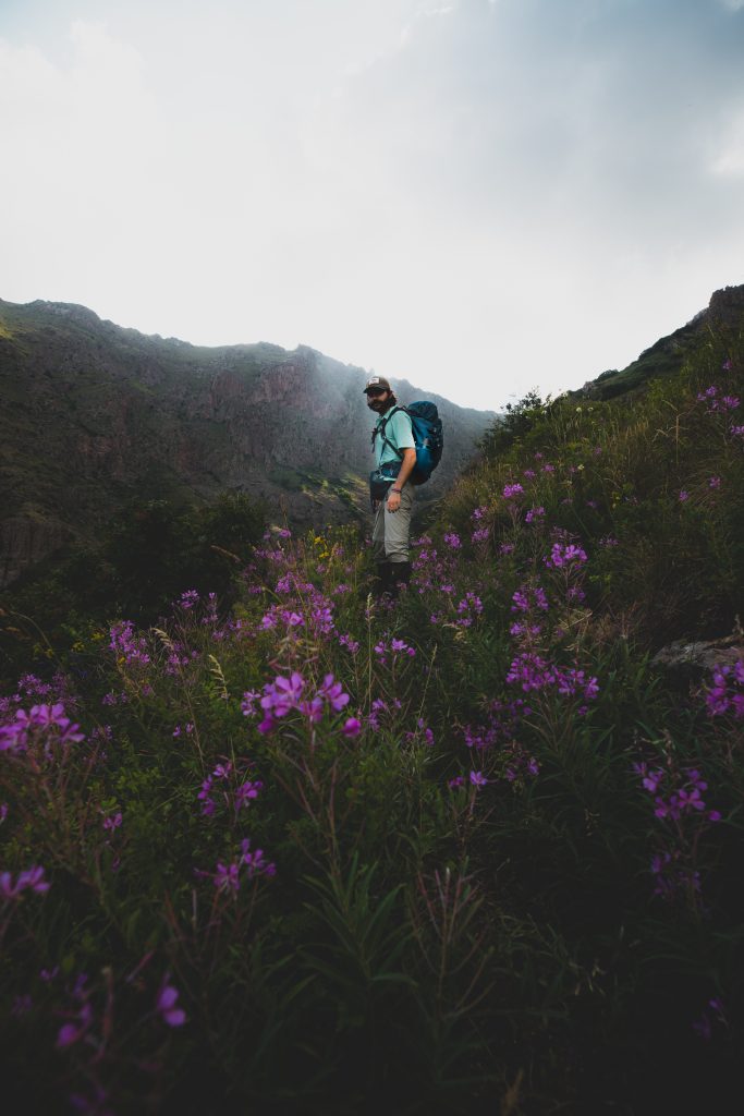
You can start this hike either at Parz Lake, or in Dilijan. Whichever starting point you chose, this hike offers the best Dilijan National Park has to offer. In the late spring and early summer, you can spot what TCT calls the most beautiful display of wildflowers in Armenia on what’s known locally as the Gyolort, a large alpine meadow (be warned—the ground may still be wet that time of year). While there are several sections of the trail that take you through heavily wooded areas, there are several flat spot that are great for camping. Don’t shy from saying hi to local farmers, but be weary of their dogs, which have been trained to defend their livestock from outsiders.
Time: 3-4h Distance: 12 km ↑ 2,212 m ↓ 1,916 m
Starting on a historic road, this hike will take you from the idyllic village of Gomk, through valleys and past lakes to the beautiful Martirosats Monastery in Old Martiros. Local legend says this holy site is a place where miracles occur.
From the western end of Gomk village, the trail goes up the mountainside following a historic cart road, sections of which are still paved with their original cobblestones. You’ll traverse the north-facing mountainside below the peak of Mount Garumk (2,742m), passing above a series of flooded plateaus where numerous freshwater springs once supplied drinking water to inhabitants of ancient settlements in the area. The chapels of Martiros and St. Jacob can both be found just downhill beyond the northern lips of these plateaus. At the midpoint of the trail, the route passes behind the peak of Mount Karhan (2,222m) to the north. Climb the short distance to the peak for a spectacular view of the valley below. From the last plateau, known as Verin Lich (“Upper Lake”), the trail descends towards the almost-abandoned village of Old Martiros, passing Chumov Lake (“chim” is an Armenian word referring to the island in the middle of the lake). At a signposted junction (9.5km), bear left and continue 1km to the rock-hewn Holy Mother of God Church, also known as Martirosats Monastery, which has been carved from the mountainside below the peak of Mount Nazar (2,446m). FYI, the road to Gomk is in bad shape, but it is easier to get to the village of Martiros by car if you want to start your hike from there. Important to note that this section of trail is a part of the planned TCT route across Armenia.
GOMK TO ARTAVAN
Time: 6h Distance: 15,9 km ↑ 2,532 m ↓ 1,838 m
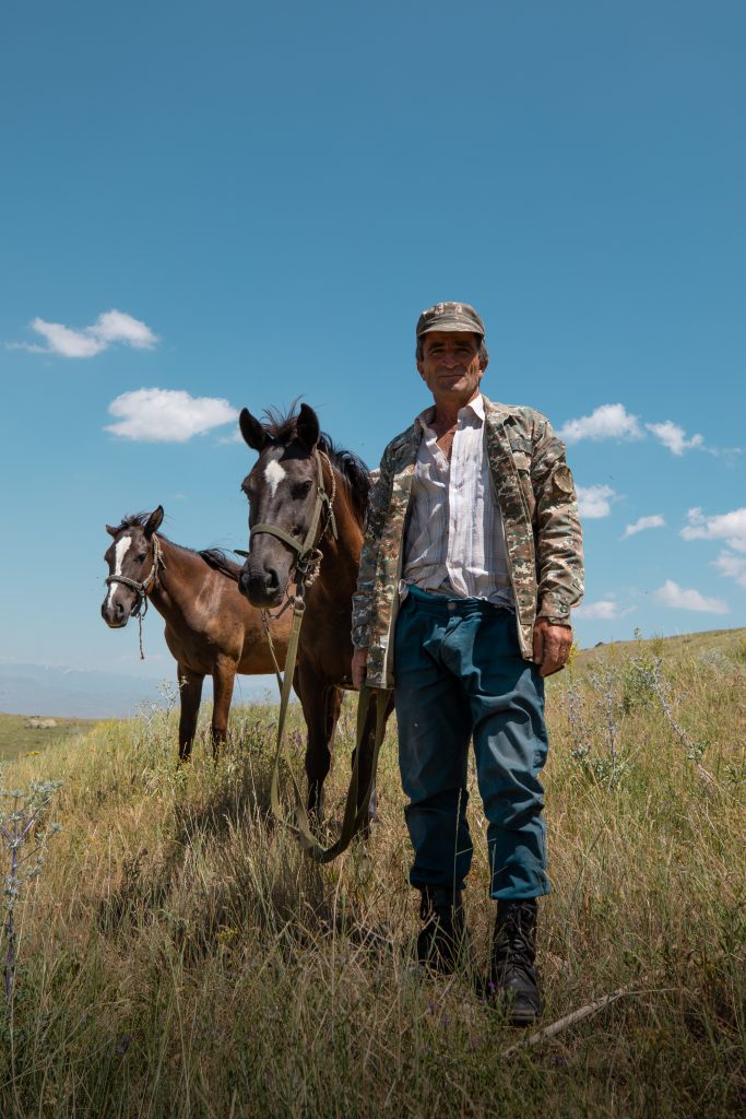
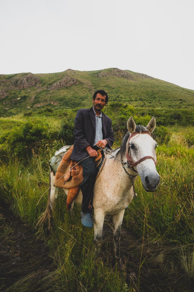
On day 7 we did a horse riding in Tavush.
Don’t worry—there haven’t been bandits in these parts for a long time. This trail, thought to once have been part of the Silk Road, connects the villages of Gomk and Artavan.
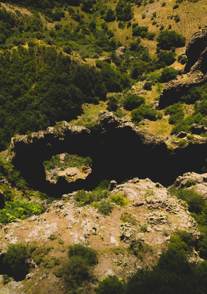
You may notice that this trail overlaps with the Stairway To Heaven trail, but there’s a vital turnoff that takes you to the village of Artavan from Gomk, and vice-versa. While hiking the Old Bandit Road, you’ll find yourself on man-made stone steps that switchback up the mountains dividing the two villages. This section of the trail is thought to have been part of the Silk Road! Continuing up, you’ll traverse a scenic cliff-ledge pathway along rock outcrops. Near Artavan, ancient trails have been restored in a beautiful forest, where you’ll notice old Silk Road bandit camps, without the bandits—they’re long gone. This trail is part of the Transcaucasian Trail route that goes through the Vayots Dzor Province.
For more details and information visit the HIKE Armenia website: https://hikearmenia.org/home

