Canary Island, route GR131 in La Palma
DISTANCE
72 KM
DIFFICULTY (1-10)
7
DAYS
4
TOTAL ASCENT
3900 Mt
% UNPAVED
95%
HIGH POINT
2426 Mt
GR131 – The best paths in La Palma in a unique long trail, the volcanoes trail and the ridge of Caldera de Taburiente
The GR131 is without any doubt the main attraction for hikers in La Palma Island. The Long Route GR131 crosses the 7 Canary Islands and particularly in La Palma, it is considered as the most beautiful part to be hiked from the 7 parts is composed.
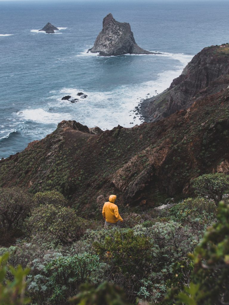
In La Palma, the GR131 draws a line from the south to the west coast and surrounds the heights the National Park of Caldera de Taburiente.
Due to its terrain and the elevation gain, the long route GR131 in La Palma is the hardest part of the route that crosses the 7 islands. Though is a long and hard route, it is very enjoyable thanks to the particular landscape of the southern part, the volcanoes trail, and the northern part that shows the magnitude of the National Park of Caldera de Taburiente.
The hike is explained from the south to the north though can be possible to do it in reverse.
The route begins from the Fuencaliente Lighthouse and the trail is marked from the beginning to the end with a white and red mark. It is very easy to follow the trail thanks to all the many trail signs all the way indicating the main hiking spots and the kms it takes to get there.
The GR131 from Fuencaliente to El Paso – Volcanoes trail
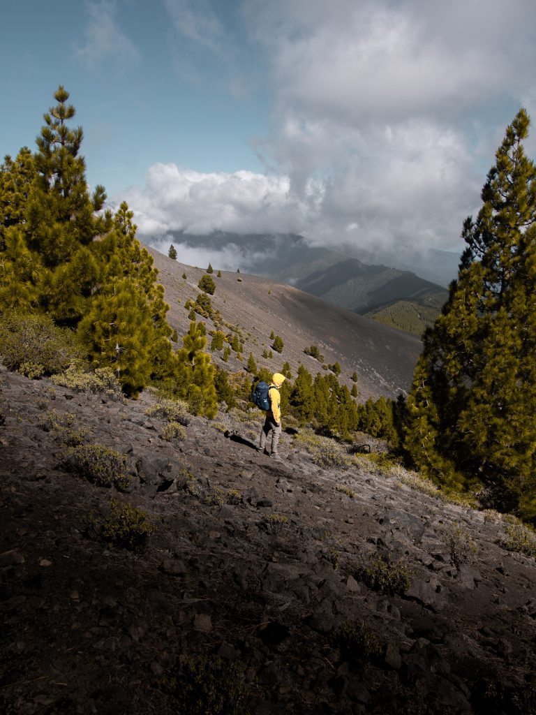
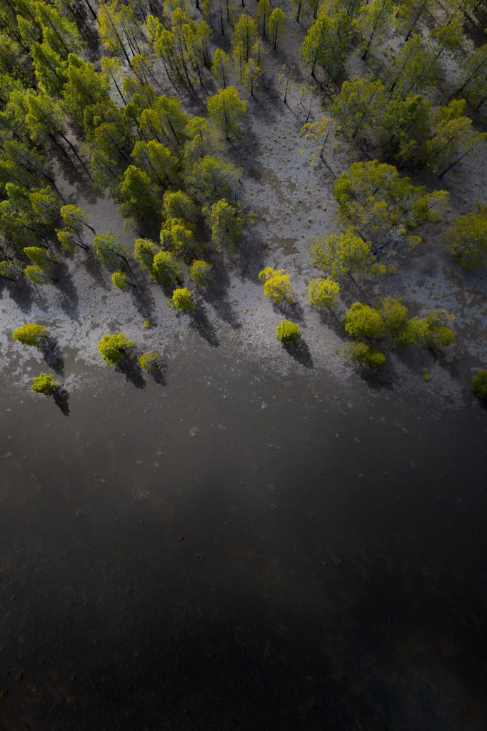
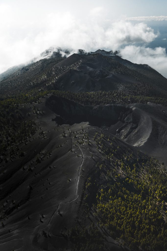
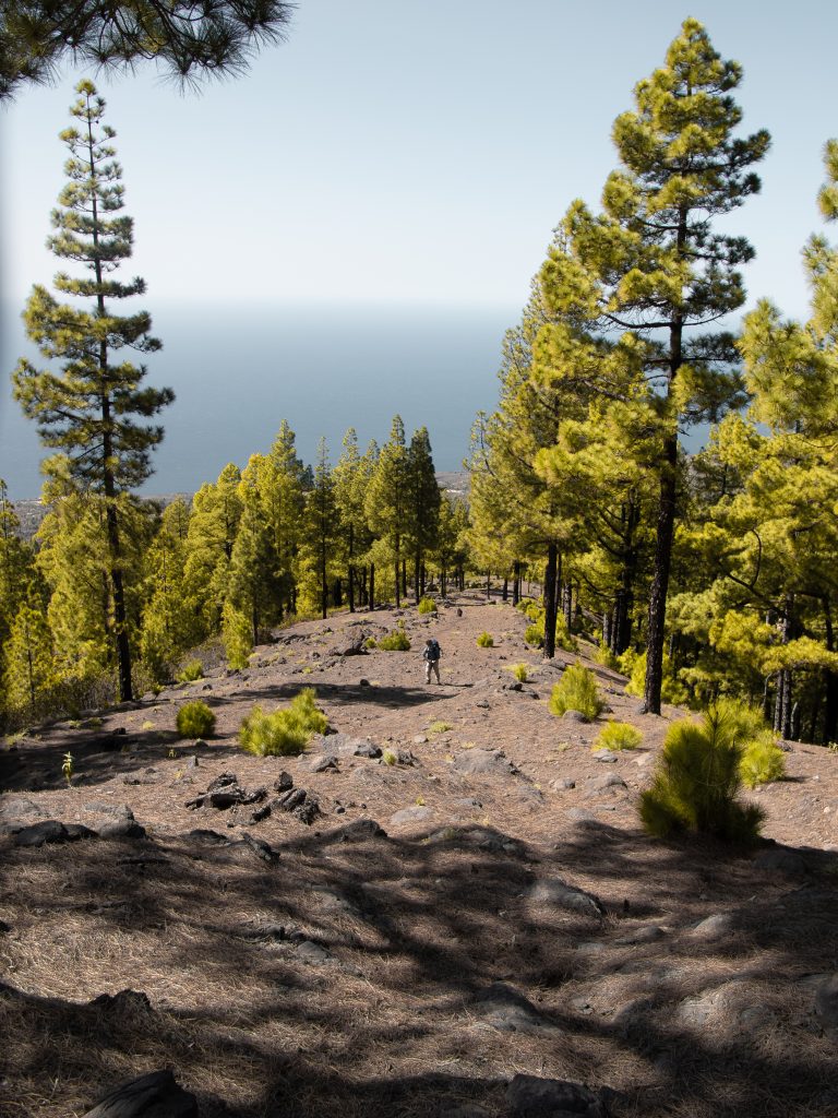
The first part of the GR131 in La Palma is part of Volcanoes Trail, a very spectacular part of the island that is crossed by this gorgeous trail. It begins at Fuencaliente Lighthouse and crosses the road twice to get into the volcanoes trail that leads to Fuencaliente. In the top of the village of Fuencaliente, after passing the main road of the trail goes through a forest of Canarian Pines until it reaches 1000m high where the volcanoes appear again in the route with all its magnificent. At this point, the vegetation is spread around and the arid and volcanic landscape that becomes a magic scenery where is possible to see both sides of the island and contemplate the beauty of La Isla Bonita.
El Paso and the Reventón Pass
The part from Fuencaliente to El Paso is one of the most hiked paths due to its beautiful nature but from El Paso to the summit of the island is as beautiful as the volcanoes trail. In El Paso is possible to overnight with a permission that can be taken online. From El Paso to the mountain hut the landscape changes again, being the vegetation the protagonist. In the first part From El Paso to el Reventón the trail is very flat and enjoyable. It will cross a small mountain hut with no equipment and quickly will go up to Punta de los Roques mountain hut. The views during this part of the trail are very beautiful because it’s often possible to see how the clouds pass from the east side of the island to the west and they evaporate.
The ridge of Caldera de Taburiente
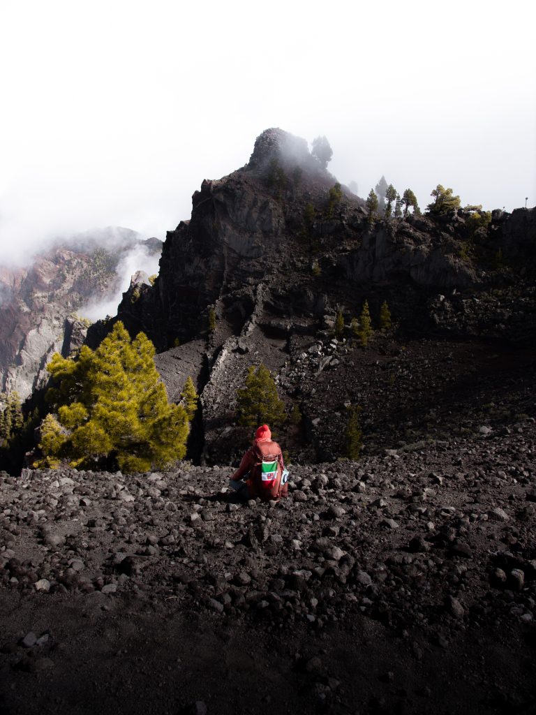
From Punta de Los Roques mountain hut, the trail follows the ridge of all the caldera de Taburiente surrounded by small bushes during all the trail to Roque de Los Muchachos. If the weather conditions are good, from the ridge can be seen the caldera during all the trail. In Roque de Los Muchachos is settled the best astronomical observatories of the world. Many countries have its team and facilities up there. Looking at the stars from any place of La Palma is exciting but from Roque de Los Muchachos is even more incredible. From the top of the island of La Palma, for going to Tazacorte, has to be followed a path that arrives at the road that reaches the top of the summit and at the first turn to the right you will find the path that leads to the west and keeps following the ridge of Caldera de Taburiente.
- We recommend using outdoor technical clothing with boots and not sneakers.
-
Weather can suddenly change, so you can also get waterproof clothing.
-
In case of bad weather conditions like winds up to 50km/h, fog and rain so be careful.
- For sleeping you need to get a tent and a sleeping bag.
- Along the way for a night there will be the opportunity to spend the night in a shelter.
- We recommend the use of a technical tent with pegs because during the night the wind can reach 50 km/h.
- Along the way there will be no drinking water sources.
- Then make an abundant supply of water and even food.
- The only source of water that you will meet, is at the shelter, but not being drinkable you can only use it for cooking.
- GEAR: https://www.marmot.com
- WATER FILTER: https://www.lifestraw.com
- BOOTS: http://www.trezeta.com/
- BACKPACKS: https://eu.gregorypacks.com/it-it/
- FOOD: https://www.outdoorfood.com
- GEAR FOOD: http://www.gsioutdoors.com
