THE WALSER WAY
DISTANCE
65 KM
DIFFICULTY (1-10)
7
DAYS
6
TOTAL ASCENT
7500 Mt
% UNPAVED
90%
HIGH POINT
2738 Mt
A week of trekking between the Alta Valsesia and the Cervo valley.
An itinerary that crosses precious valleys, a centuries-old community that continues to leave its mark
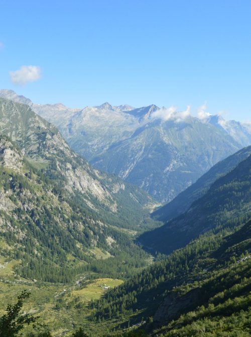
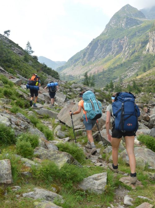
The Traversata dei Walser is an alpine path that runs between the Valsesia and the Cervo Valley. A route that has served as a commercial transmission belt since the 13th century. In the past, a mountain community with unique characteristics has gathered along this route. The “Walser” have marked the territory with their dialect, with their housing structures, with their high altitude economic circles. Even today it is possible to touch the material heritage of this population. Following a schedule based on six days of walking, we made a trek that allowed us to breathe a fair amount of adventure, in a first-rate mountain setting. Starting from Macugnaga (Verbania province), we “caressed” the Monte Rosa massif on the east side for two days, aiming for Alagna. From there, we climbed back up into Valvogna, until we climbed near the Maccagno pass and thus found ourselves towering over the territory of the Biella area, towards which we descended to complete our route.
This route, of medium difficulty, was completed with tents
to guarantee us greater flexibility along the way and avoid nasty surprises in shelters due to covid-19. However, we managed to stay overnight at the Valvogna refuge (1380 meters), as well as enjoying dinner at the Alfredo Rivetti (2150 meters), on the night of San Lorenzo. There are several spots that should be highlighted, capable of making the itinerary stimulating from a physical and landscape point of view. Passo del Turlo is the first of these: it is a hill that is conquered after having completed a difference in height of about 1500 meters uphill from Macugnaga [in our case the ascent was broken into two parts, 400 meters on the first evening and 1100 meters on the second day]. The final stretch takes place along a well-kept mule track, under a scorching sun that must be contrasted with suncream. Halfway up the climb is the Lanti Shelter (2150 meters above sea level), an exquisite support point inaugurated last year, with wooden interiors, a maximum capacity of up to 12 beds and the ability to recharge mobile phones. Furthermore, the presence of a source of drinking water and the view over the valley are two more strengths.
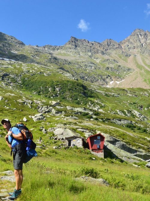
And speaking of views, the one that opens once you reach 2700 meters is immense, on both sides.
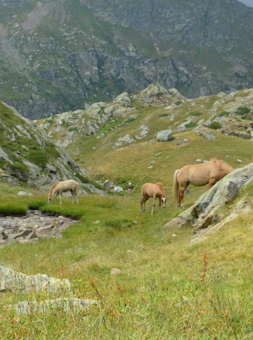
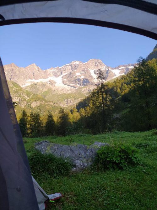
For mountain lovers, this is a classic middle point, where you can see the result of the effort made up to then and in the meantime test the path that remains in front of you with your eyes. Below are the Turlo Lakes. They are two small mirrors of fresh water, pampered by green meadows and the rocks that lie around them. They are an excellent location to stop and rest or to have lunch. Going down the slope, you reach the Pastore refuge, at an altitude of 1600 meters. The possibility of camping with a tent is an option that we highly recommend in this place, literally located at the foot of Monte Rosa. The east face of the massif rises majestically, making its way through the clouds that tickle it on the sides. The morning awakening with this view is to scream, assured.
As we continued our march, we used the town of Alagna to get supplies of food and water
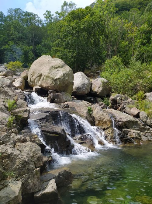
before plunging back into nature by going up Valvogna to the end. With a total ascent of 1300 meters – which we have broken again in two days – we rise up to the Maccagno Pass, a place cloaked in alpine mysticism. The wind massages the rocky ridges, while an immense expanse shaped by the ancient passage of a glacier opens a hundred meters below: this is Colle Lazoney (2390 meters above sea level). It is at this point that Alta Valsesia and Valle Cervo intersect, the latter being the protagonist of the final part of our tour. Here you can see various stone stones to signal the path, due to the frequency with which the fog tends to deposit in this valley. The Alfredo Rivetti refuge (2150 meters above sea level) was our next stop. It is a refuge built on a natural balcony, from which you can dominate the surrounding landscape in depth. The dinner with bagnacauda and red wine was the prelude to a memorable starry night, with the sky cleared after a temporary disturbance. Real life flowing. We spent the last two days in Valle Cervo, which develops in the Biella area and includes several interesting peaks, as well as a considerable excursion basin. Between Piedicavallo and the Selle di Rosazza (1489 meters above sea level) we had the opportunity to experience a peaceful ending, including river baths, well-kept mule tracks and evening grapevines to seal full days.
Di seguito, ecco le specifiche giorno per giorno del nostro itinerario, con i rispettivi dislivelli e le ore di cammino impiegate.
1 – From Isella to Alpe la Piana:
Ascent: +400 meters
Descent: – 0 meters
Duration: 1.30 h
3 – From Rifugio Pastore to Rifugio Valvogna:
Ascent: +300 meters
Descent: – 500 meters
Duration: 4 h
5- From Rifugio Rivetti to Piedicavallo:
Ascent: + 0 meters
Descent: – 1100 meters
Duration: 2.30 h
7 – From Rifugio Madonna della Neve to Rosazza:
Ascent: + o meters
Descent: -500 meters
Duration: 2 h
2 – From Alpe la Piana to Rifugio Pastore:
Ascent: + 1100 meters
Descent: – 1200 meters
Duration: 6.30 h
4 – From Rifugio Valvogna to Rifugio Rivetti:
Ascent:+ 1300 meters
Discesa: – 600 meters
Duration: 6.30 h
6 – From Piedicavallo to Rifugio Madonna della Neve:
Ascent: + 500 meters
Descent: – 0 meters
Duration: 2 h
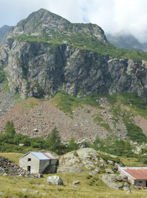
The proposed route is suitable for hikers who have a minimum of experience with trekking, but does not include particularly exposed sections; the path is well marked, with a red and white horizontal stripe signpost. Worth mentioning is the cheese production at Alpe Maccagno, which is located in the upper Valvogna before crossing the pass of the same name. Weather conditions could be fluctuating. The views definitely deserve your attention!
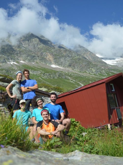
Pietro Buatier, Marta Sobrero, Lucia Buatier, Pietro Grotti, Marco Olcese, Isabel Caroni
-It is recommended to use suitable mountain equipment
– During the summer, due to the strong exposure to the sun, sunburn can occur on the arms, legs and neck. The use of sunscreen is therefore strongly recommended
-The weather and climatic conditions can change rapidly during the same day, so waterproof clothing is necessary
-The path can be done with tent
-The possibility of finding shelters in each stage guarantees a certain safety to this route in terms of support points available
-We recommend staying one night at the Lanti Bivouac, which can be reached on the first day starting from Staffa Macugnaga
-Various shelters that you meet along the way, offer the possibility of eating for lunch and dinner. Our advice is to start with a gas stove for each couple of trekkers and have meals guaranteed for at least 2/3 days.
–In Alagna, which you cross in the middle of the week, you can buy fresh food of all kinds. There are supermarkets, bakeries, groceries and pharmacies.
-At Alpe Maccagno is produced the omonimous cheese which, depending on the period, can also be purchased on site. The intense taste and the natural process with which it is prepared make it very pleasant.
– A good guide concerning the Alta Valsesia area is the one prepared by Geo4Map (Varallo Section)
