SARDEGNA COAST TO COAST
DISTANCE
180KM
DIFFICULTY (1-10)
7
DAYS
8
TOTAL ASCENT
4,374KM
% UNPAVED
76%
HIGH POINT
1830m
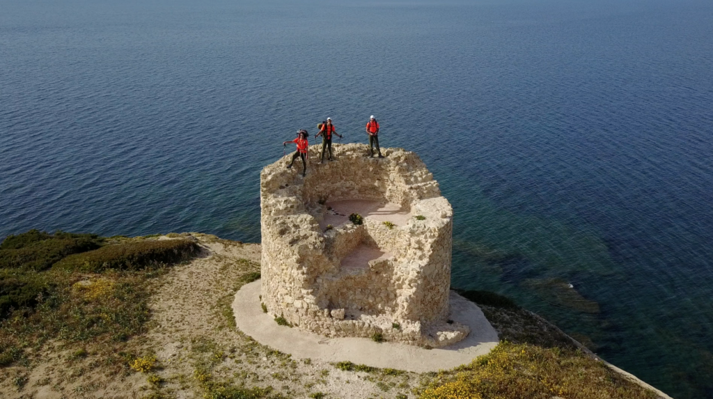
From Ogliastra to the Sinis Peninsula, from Cala di Luna to Capo Mannu along the 40th parallel: the best way to come into contact with extraordinary nature and people. At the end of the long walk you realize you have not crossed an island but a civilization.
An island with the mythical hinterland, the fame of a wild beauty, the discreet charm of millenarian costumes. Those shepherds that we would like to know better and which the news have never spoken too well. The mysterious Supramonte …
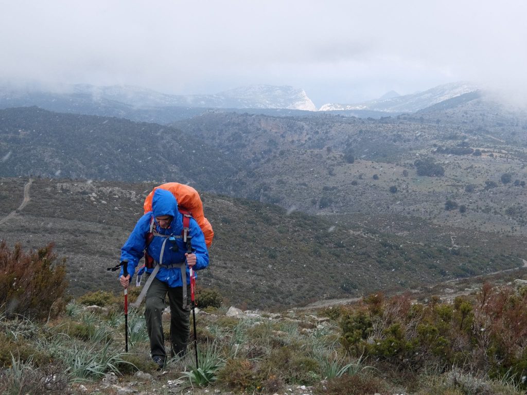
But do we really want to meet you, this Sardinia? If the answer is yes, then we must not let ourselves be misled by the superficial temptation of the coast and the tedious idleness of the equipped beach. We have to leave the car, Via Fiano Via between unsurpassable between us and the land, and resort to the maximum possibility of meeting and dialogue offered by the movement of feet, following the rhythm of the people who live in the mountains of the interior. That’s why I crossed the island only with my backpack, cutting it from sea to sea. I wanted to get the image in section of an unknown world, abandon myself for a dozen days to a very different reality, trying to scratch the appearance pure and simple.
Among those mountains I met people with a great desire to talk and be together, discovering a communication capacity too often denied to the reserved inhabitants of the island. And then the wonder of the Sardinian night, the color of the summer sky illuminated by the moon And the stars, is crossed in August by meteorites. If you want you can mount the tent but you would lose much of the contact with nature that you enjoy in the crossing. For centuries, shepherds have been sleeping open sky inside a su saccu, their wool sack, still today handcrafted in Desulo, a Gennargentu country where people wear traditional costume in their daily life. So Sardinia from one coast to another, following along the 40th parallel, a route difficult to define because of the morphology of this island before real chains that simplify the reliefs.
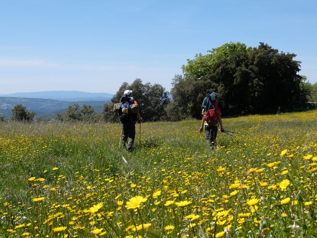
I crossed the Ogliastra coastal region first. The calcareous environment and the torrid summer climate allow only the development of vegetation dominated by olive trees, junipers, cysts and lentisks, and by the infinite variety of species typical of the Mediterranean scrub. After the Ogliastra mountains begin the Barbagia: as you approach the central mountain group of Gennarrgentu the ground becomes schistose and the rounded landscape is dry and uniform for continuous grazing. The Gennargentu then appears in all its uniformity of massif almost without peaks: a piece of translocated Apennines, which even from a distance appears monotonous, ” bald ” as it is of vegetation.
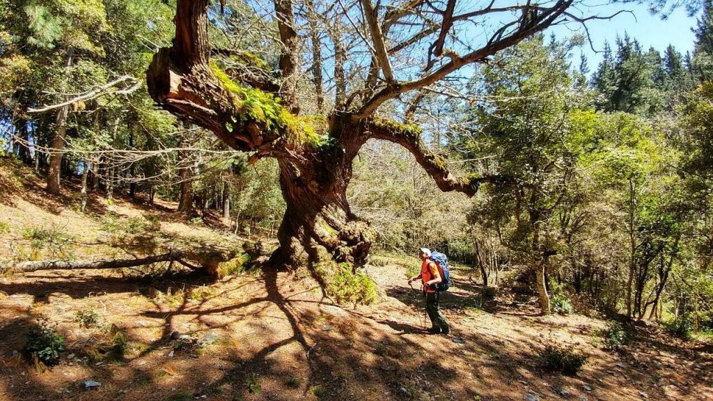
This is the air where once the most numerous Sardinian fauna today among the ungulate mammals we find only some mouflon the wild boar, which is very common.Then come the wild cat, the fox, the marten, the weasel and the dormouse. The deer and the fallow deer instead became extinct. Within the avifauna particular raptors assume the vultures: the vultures, including the majestic griffin, the peregrine falcon, the goshawk, the eagle of Bonelli and the golden eagle. I descended the western slopes of the Gennargentu massif, I entered the area of the great woods of poor, chestnut and holm oaks, and in the outskirts of Barbagia Belvì and Mandrolisai.
The milder climate enjoys the beneficial influence of the winds that carry the humidity of the western Mediterranean. I passed a series of countries – Tonara, Sorgono, Ortueri – interspersed, up to the Tirso dike, from the typical Sardinian landscape of hills and low mountains. Proceeding further west, I then crossed the arid plateau of Abbasanta that, with an imperceptible slope in favor, pushed me Nuraghe Nuraghe to the ponds of the Sinis peninsula And to the cliffs of Capo Mannu, my goal.
If I had to summarize the meaning of this experience, I naturally think of ” man, nature and civilization ”. Apart from the spectacularity of certain places, I think that a crossing of Sardinia highlights above all the intense relationship between the people and its mountains, its steppes on the woods. In nearby Corsica there are 173 km of itinerary (GR20) among landscapes that leave one’s mouth open: but it is possible to follow them all meeting only foreigners or at most some guides. You understand how nature without men, its men, is not as rich as it seems. Going instead from the Ogliastra to the Sinis peninsula, one realizes to cross not an island but a civilization. And just when you think you have turned away from everyone you hear the shepherd whistling from the shade of a holm oak. Then you have to go to him, even if it is not easy, so, at a glance, distinguish him among the limestone boulders where he remains seated in silence. And you immediately hit the ” you ” straightforward, the determined gaze that examines you to understand what you are doing there instead of being in the city or the sea where ” you live ”.
The shepherds this thing to go up there without being obligated, understand up a certain point: a strangeness of the mainland, they say. At the same time, however, they feel appreciated, they, their mountains, the beasts, and they do the honors of the house. The result is a pause made of rumors, roasts, cheese and wine that you would not want to end up anymore. On the other hand, if you arrive in the village, the participation is choral: you do not go unnoticed with the color backpack and shorts. And so people immediately took possession of the pilgrim to make him go around the bars and friends. In fact, in these villages resists that immediate hospitality, even sacred as it was for the ancient Greeks, of which the industrial city civilization, hasty and finalized in every moment, has lost track. The described crossing has an approximate length of 180 km. It is not a rigid itinerary because, unlike the GR20 Corsa, it is devoid of equipment that makes it particularly advisable compared to others. The chances of variation are therefore very many: just fantasy, a bit ‘of curiosity and a good guide of Sardinia in the backpack.
- Traveling a unique route that cross Sardinia from the East to the West Coast
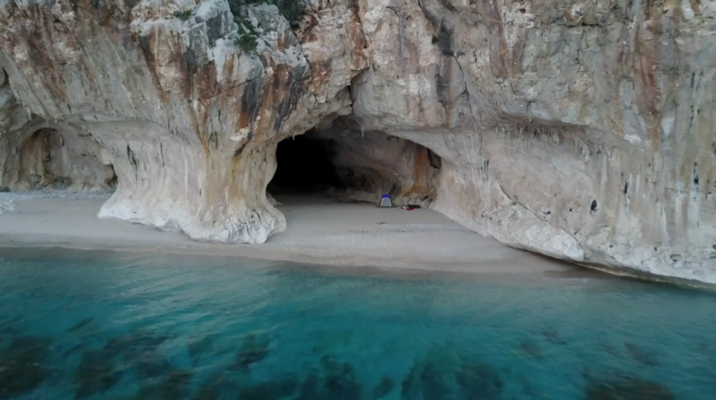
- The extraordinary night in Cala Luna, where you can see one of the most beautiful beach of the entire Island
- Several old Nuraghe on the centre part of the Island.
- Traditional dishes of the local gastronomic culture. Little villages like ‘Urzulei’, ‘Tonara’, ‘Urzulei’ and ‘Bauladu’
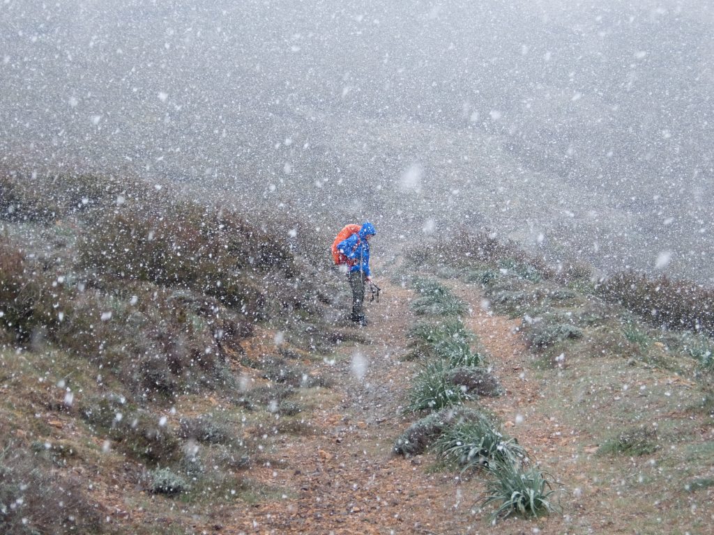
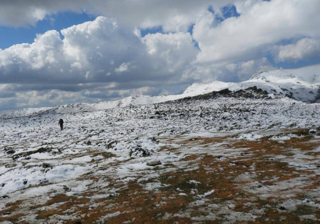
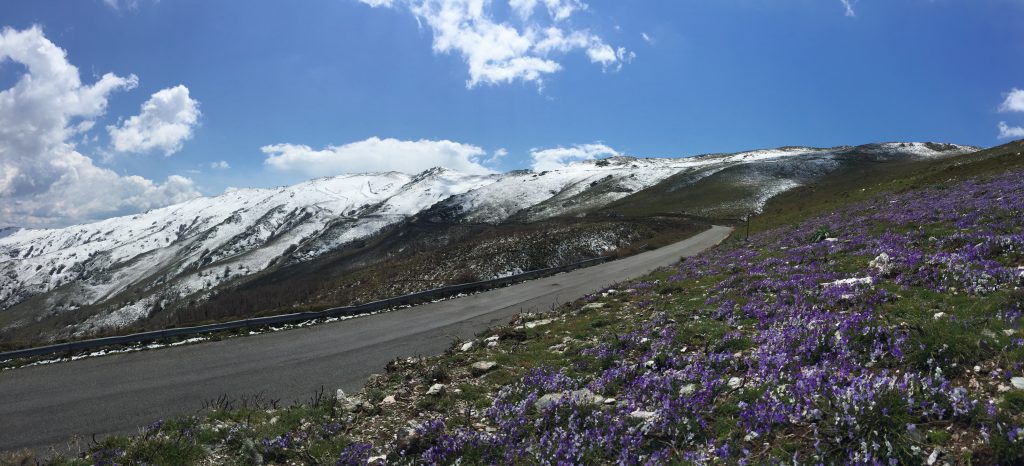
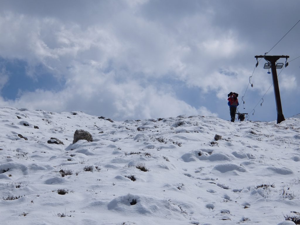
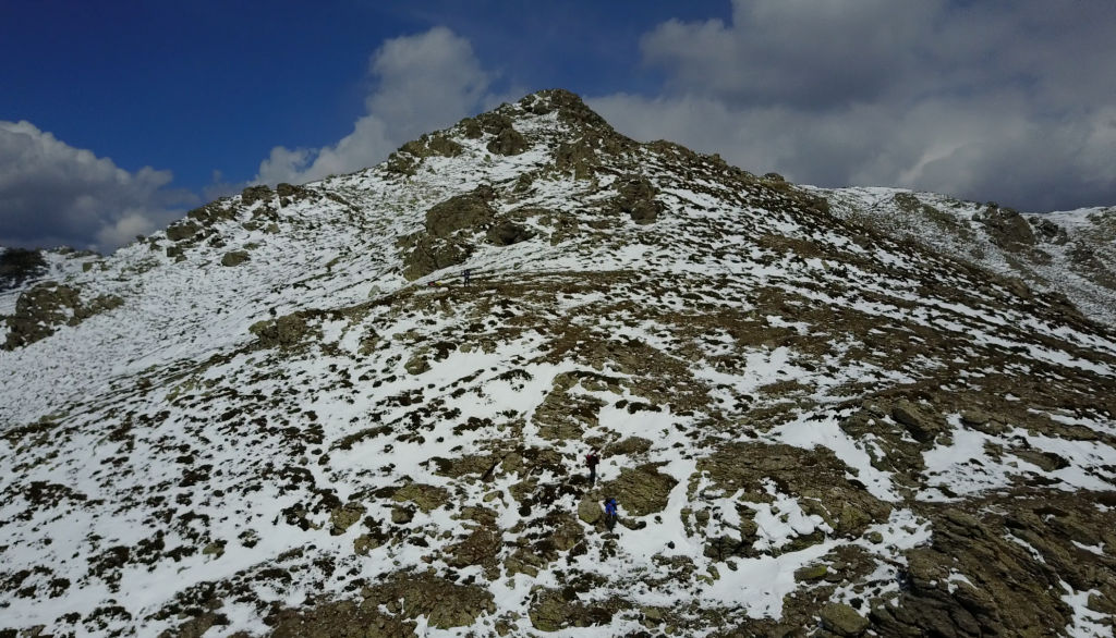
- The incredible Gennargentu Mountains. Where you can find snow in Sardinia
- To facilitate the return by Bus once the route has been completed, the track starts from Cala Gonone and ends at Capo Mannu, whatever the direction of travel chosen.
- The bus line runs along the trail and always remains between 15 and 20km from the route, so that the Sardegna CtC can be traveled even partially, reaching the intermediate villages along the route.
- The best time to tackle this route is from April to June and from September to November the Gennargentu section can be snowy through the spring.
- Bring some mountain clothing, as there can be rapid changes in weather and sudden temperature drops at high altitudes, not during the summer months.
- The Sardegna CtC can be crossing from Cala Gonone (NU) towards Capo Mannu (OR) or from the opposite direction.
- Most of the route IS NOT marked, GPS is very important.
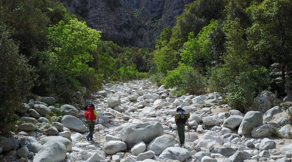
- In some areas it can be difficult to find water and even traces of the trail
- You must speak with the Sardinian shepherds, they are the soul of the Sardinian land.
- Cala Luna it’s a great place to spend the first night . Leaving clean and a small donation for maintenance (bivouac sunset/sunrise).
- The second night you can sleep in Urzulei, Casa della Nonna B&B +39 3890765673
- No way for the third night in Arcu Correboi (the highest pass in Sardinia) you must bivouac from sunset to sunrise.
- There are two possibilities for the fourth night, Sleep in Desulo or in Tonara, here you can find a lot of B&B. The stop in Desulo means more kilometers the next day.
- The following days depending on where you slept. You can choose to stay at
– Sorgono da Raimonda of ” Sa Lumenaria ” +39 3496205182
– Ortueri ” Agriturismo Su Creccu ” +39 368 308 4401
– Ulà Tirso ” Agriturismo Sa Tanchitta ” or Airbnb
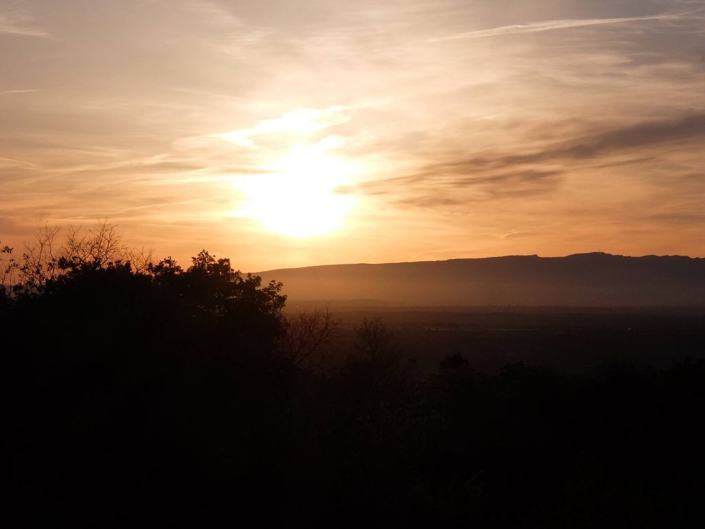
From Ulà Tirso it is advisable to plan well for the seventh and last night in Bauladu passed the Abbasanta plateau, without a doubt the most impervious area on the way. - Last night near the beach of Capo Mannu looking the sunset with a Sardinian beer.
- It is advisable to bring with you a gas burner, some sachets of freeze-dried food and the correct equipment
- Chocolate, bread, Parmigiano Reggiano and energetic snacks could be important elements for a daily snack.
- LIFE STRAW water filter is strongly recommended for drinking in any situation from rivers
- Take at least 2/3 liters of water per person because there are few sources along the way. You can meet some sources in the Gennargentu area. In order to stock up on water, one must stop in the villages that cross each other during the journey, such as Urzulei and Desulo.
- As far as the food is concerned, we highly recommend tasting the Fiore Sardo pecorino in the Barbagia area. Another culinary tip is to taste the Prosciutto Crudo di Desulo and the Torrone di Tonara. If you want to give yourself a relaxing evening, we recommend the pizzeria in Urzulei.
- PARK SITE: non esistente
- GEAR: https://www.marmot.com
- WATER FILTER: https://www.lifestraw.com
- BOOTS: http://www.trezeta.com/
- BACKPACKS: https://eu.gregorypacks.com/it-it/
- FOOD: https://www.outdoorfood.com
- GEAR FOOD: http://www.gsioutdoors.com

